6ecad9a8...
37765791...
fd61727b...
edb81121...
Parabolas, saddles, and contours in everyday objects

Satellite dish: parallel radio waves reflect to one focal point due to parabolic shape
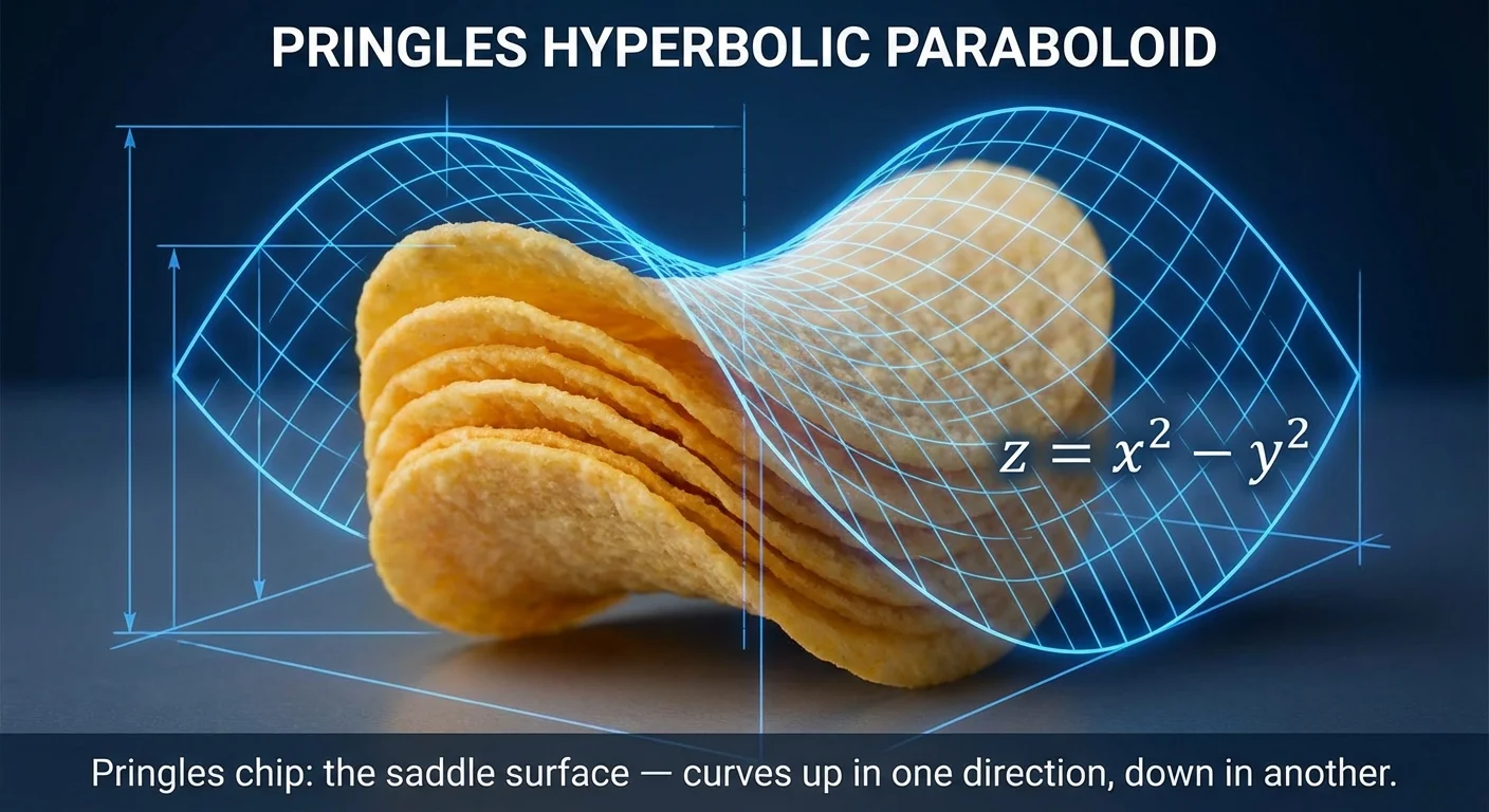
Pringles chip: the saddle surface — curves up in one direction, down in another

Topographic map: each contour line connects points at the same elevation

Cooling tower: saddle shape distributes structural forces efficiently
Functions with two inputs and their geometry
You're at latitude 28.6139, longitude 77.2090 (Delhi). Google Maps shows: elevation 216 meters.
How? Every (latitude, longitude) pair maps to exactly one elevation value. That's a function with two inputs producing one output:
Now rotate the 3D surface above. Every point on the floor has a height . Collect all these heights and you get the surface.
This is multivariable calculus — understanding functions where multiple inputs affect the output.
Test your understanding of multivariable functions
You calculate: profit units_sold, price. Both partial derivatives are positive at your current point. What should you do?